A casa dei zitelli, a bit of history…
Brando
For 30 years, the municipality has been one of the closest to Bastia. It is the most popular of them all. Its proximity to the administrative capital of the department of Haute Corse (8 km) is a decisive advantage.
The history of BRANDO is first of all that of its site occupied since prehistoric times; at the beginning of the Middle Ages, when Corsica was under the authority of the pope of the Republic of Pisa, powerful lords divided the territory of the Cap Corse into fiefdoms.
At the end of the 11thth century, the Genoese family of Avogari-Gentile carved out a seigniory in the southern half of the Cap Corse, covering the current communes of Brando, Olcani, Oglliastru and Nonza.
They ensured thus a certain security for the population under their control. Brando’s fiefdom became one of the most important of the cape.
Fortified castles are built in Castellu, Erbalunga and on the heights of Lavasina.
In the 12thth century, villages developed around these strongholds and the population grew. Economic activities resumed (goat breeding, wine-growing, olive-growing, crafts) as well as maritime trade with Italy. After the proclamation of independent Corsica in 1729, Cap Corse remained the last pro-Genoese territory and did not join the Paolist movement until the 1760s.
In 1764, the Genoese set fire to the village of Purettu, in their flight from Pascal Paoli. The latter took over Brando the same year.
After the defeat of Paoli (1768), Brando joined the bosom of the French monarchy.
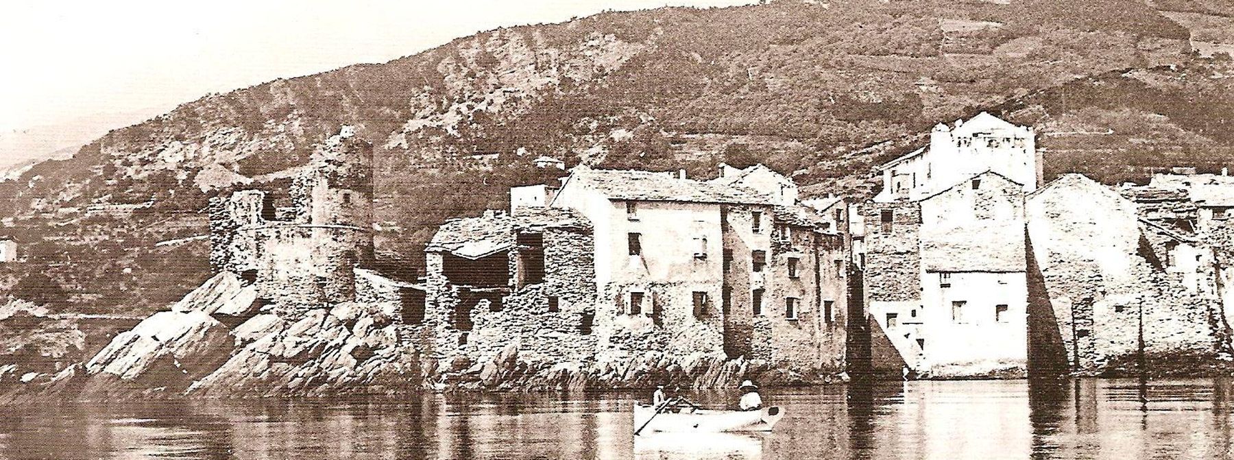
The port of Erbalunga experienced a slow and gradual decline. Maritime trade was less and less flourishing there, especially after the appearance of steam navigation.
Agriculture was still very active in the commune at the beginning of the 20th century until the phylloxera destroyed the vines. The economic recession, coupled with a strong demographic growth, led to a high level of emigration to the continent and the French empire, as well as to South America, mainly Puerto Rico and Venezuela.
The famous Brando “glacières” were small round dry-stone constructions built in the mountains. In winter they were filled with snow, which turned into ice, which was then cut into pieces and brought down as needed to Erbalunga to be sold during the summer.
Today the town is famous for its ” Brando Stones “, which are used for paving and paving all over the world.
In Pozzo, there are also the quarries of Torre and Saint Lucia, (lauzes).
ERBALUNGA with its numerous shops and services, has become a very busy place, especially in summer.
Its cultural events, notably the music festival (29thth edition in 2016) is now a popular meeting place for music lovers.
Pozzo
This is a medieval village. The Ferdinandi House, dating back to the XVth century is classified as a historical monument. The Capuchin monastery was built in the north-east in the XVth century. Its church of Saint-Barthélemy is now a parish church.
Poretto
The parish church of the Annunziata, dating back to the end of the 17th century, is to be found here. It contains a large number of remarkable heritage listed works.
From the Casazza, an alleyway leads to the ruins of an ancient watchtower and an ancient oven in a place called “Poggiola”.
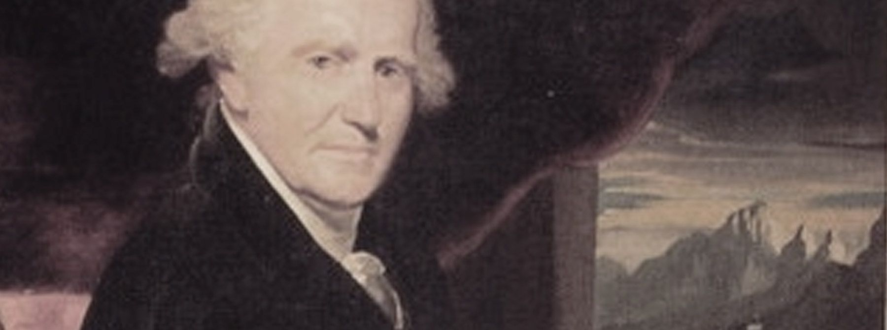
In November 1556, ALTELLO and his brother RAFFAELO De GENTILI, lords of Brando and friends of France, resisted with 7 soldiers against 300 Genoese pushed back by Sampierro Corso. In 1764, the Genoese burn the village before fleeing in front of Pascal Paoli.
Lavasina
The present hamlet of Lavasina dates back to the 19th century. It was called A VASINA. In the centre of Lavasina, there is the Franciscan convent and the sanctuary of Our Lady of Lavasina on the side of the road. Our Lady of Lavasina replaced in the 17th century a chapel on the foundations of an ancient Roman religious sanctuary. At the end of the last century, the building was endowed with a cement rock topped by a statue of the Virgin. It is an important place of pilgrimage (8 September). The beach of Lavasina is the most beautiful of the coastline of my municipality.
A CASA DI L’ISAI
Pietracorbara
Pietracorbara, extends over 26 km2 and has a 5 km seafront. Its territory rises from its fine sandy beach to the ridge line dominated by Monte Alticcione (1139 m). The municipality is made up of eight hamlets.
A skeleton found in Torre d’Aquila (or Castellare) dating back to 6000 BC is the oldest trace of man’s presence on the cape.
After the Greeks and the Romans, the Saracens and the Turks disembarked, settled and then left. From 1100 until 1625 the valley belonged to feudal lords. In 1625 Pietracorbara was directly dependent on the Republic of Genoa. In 1757, it was taken over by the Republic of Genoa. For a decade the island becomes the property of Louis XV.